
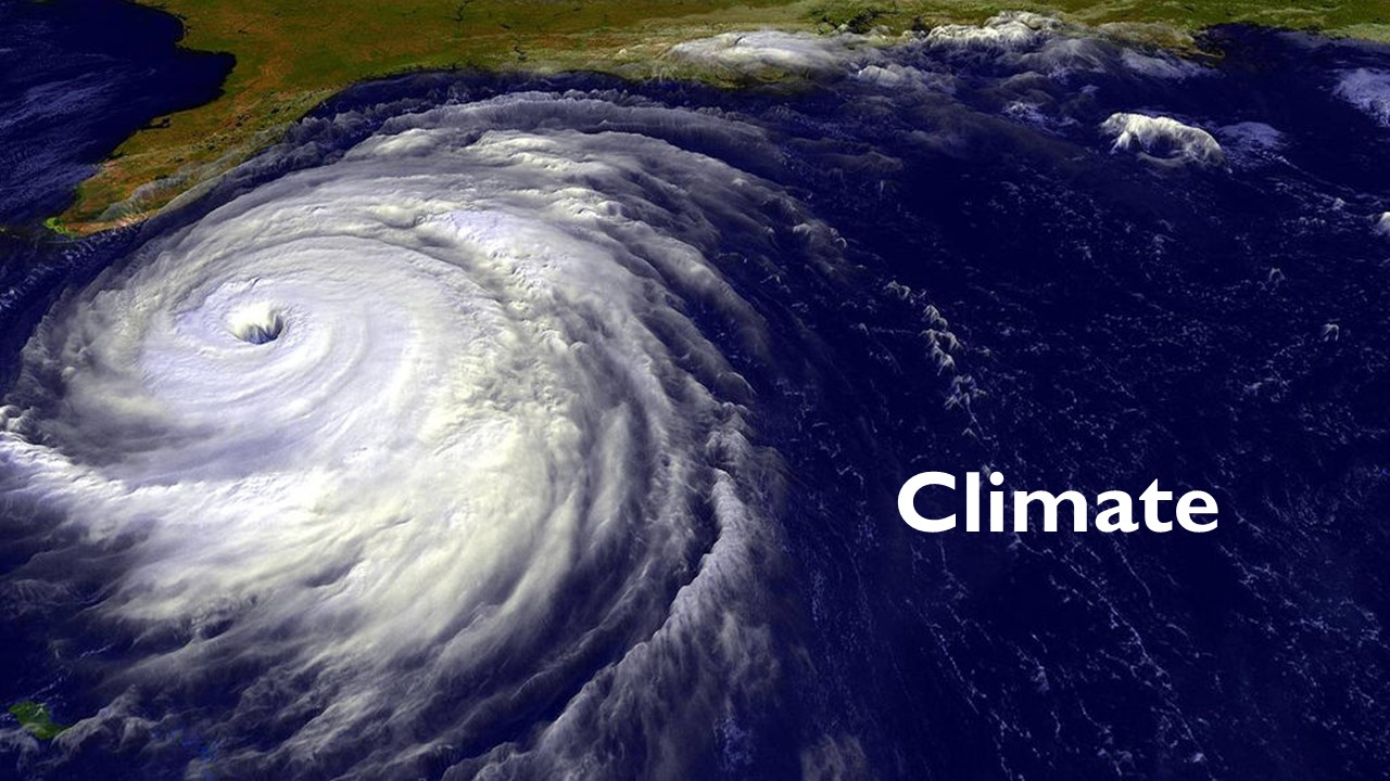
The understanding of a baseline and a changing climate is key in the full understanding of the Earth system. ESES motivates students to understand and question the nature, intensity, and consequences of dynamic climate using long-term records of environmental variables, remote sensing information, and modeling techniques, both prognostic and statistical.
Sample Research Projects:
Joan Castro (Summer 2012)
Long Term Climate Trends and PBL Characterization of the Intra America Region (IAR)
My summer research involved investigation of the lake fluctuation trends of Lake Enriquillo (Dominican Republic) and Lake Sumatra (Haiti). Since 2004, both lakes have continued to grow rapidly and the cause has not been determined. My research focused on remote sensing and ground measurement data analysis in order to identify possible causes of the lakes’ growth and see if these and other local changes in the Caribbean are an implication of climate change.
Miguel Lopez (Summer 2012)
Estimation of Effective Radius and Cloud Motion Vector
A summary of our work made during first stage are: We implemented Lindsey and Grasso algorithm to estimate effective radius, develop a new algorithm to classify convective clouds and estimate cloud motion vector, and develop a preliminary short-term rainfall forecast, using centroid location and the average reflectivity of neighbor cells to predict 15 minutes in advance. Our future work include following tasks: I will be trained in WRF (Weather Research and Forecasting) model. Principal focus for the future work will be modeling WRF to simulate rainfall activity in Puerto Rico for convective and non-convective rainfall events. Our main objective are to study which Clouds Parameterization Models implemented in WRF reach better estimations of convective rainfall activity in the Caribbean zone, including Puerto Rico, and identify other parameters than helps to improve convective cloud detection, cloud motion vector and precipitation forecast.
William Valdez (Fall 2012 – Fall 2013)
The current research is the importance of dealing with potentially severe climate impacts which it has become increasingly evident in recent years. Extreme temperatures, storm related disasters, and climate records have been occurring in countries around the world. The impacts of these patterns in New York City represent an opportunity to propose quantitative criteria to illustrate how vulnerable coastal communities may be to the damaging effects of extreme weather events and therefore provide a strategy for resilient coastal communities. The case study integrates typical variables of coastal communities and is serving as a learning tool for the consequences of weather related catastrophes and different vulnerability levels of communities in and around New York City. A proposed index will consider multiple vulnerability and resiliency levels relevant to coastal communities which include storm surge damages, building, and energy and potable water infrastructures. The index is applied along the gradient coastal-inland transects using geospatial tools. This combination of factors and vision within the context of selected specific case studies using local coastal communities as learning experiences may help us to suggest specific solutions for possible sustainable reconstruction for a long term resilient futur